Varina LandLab
Project No.04
Project Overview
To develop a cohesive vision united with the long-range park plan for Varina LandLab: perform site visits and analyses of the 350+ acres of open space with an emphasis on preserving habitats for plants and wildlife, prioritize the client's ideals in developing the LandLab's unique brand, explore natural relationships between trails and trail signage in connection with the brand, conceptualize pavilion designs consistent with the land use plan, and develop a map for trail networks and future growth.
Vision
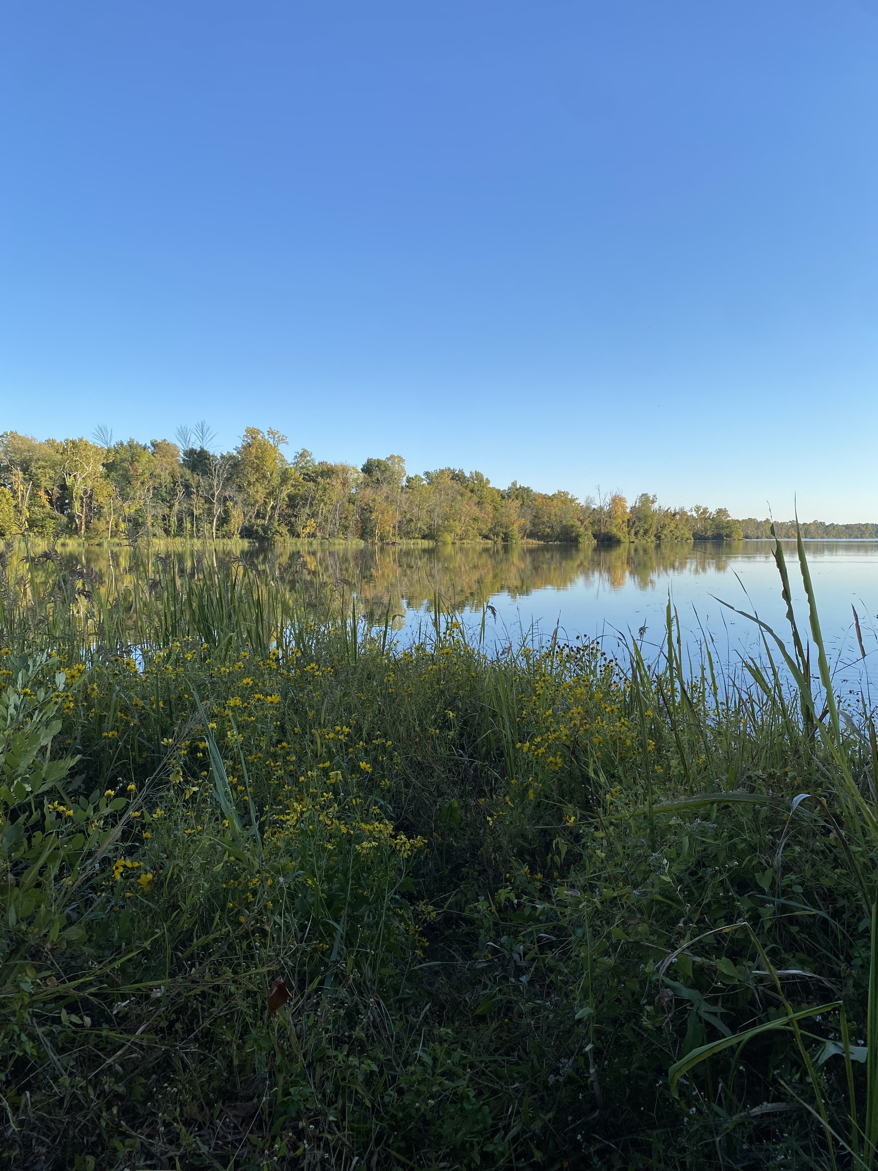
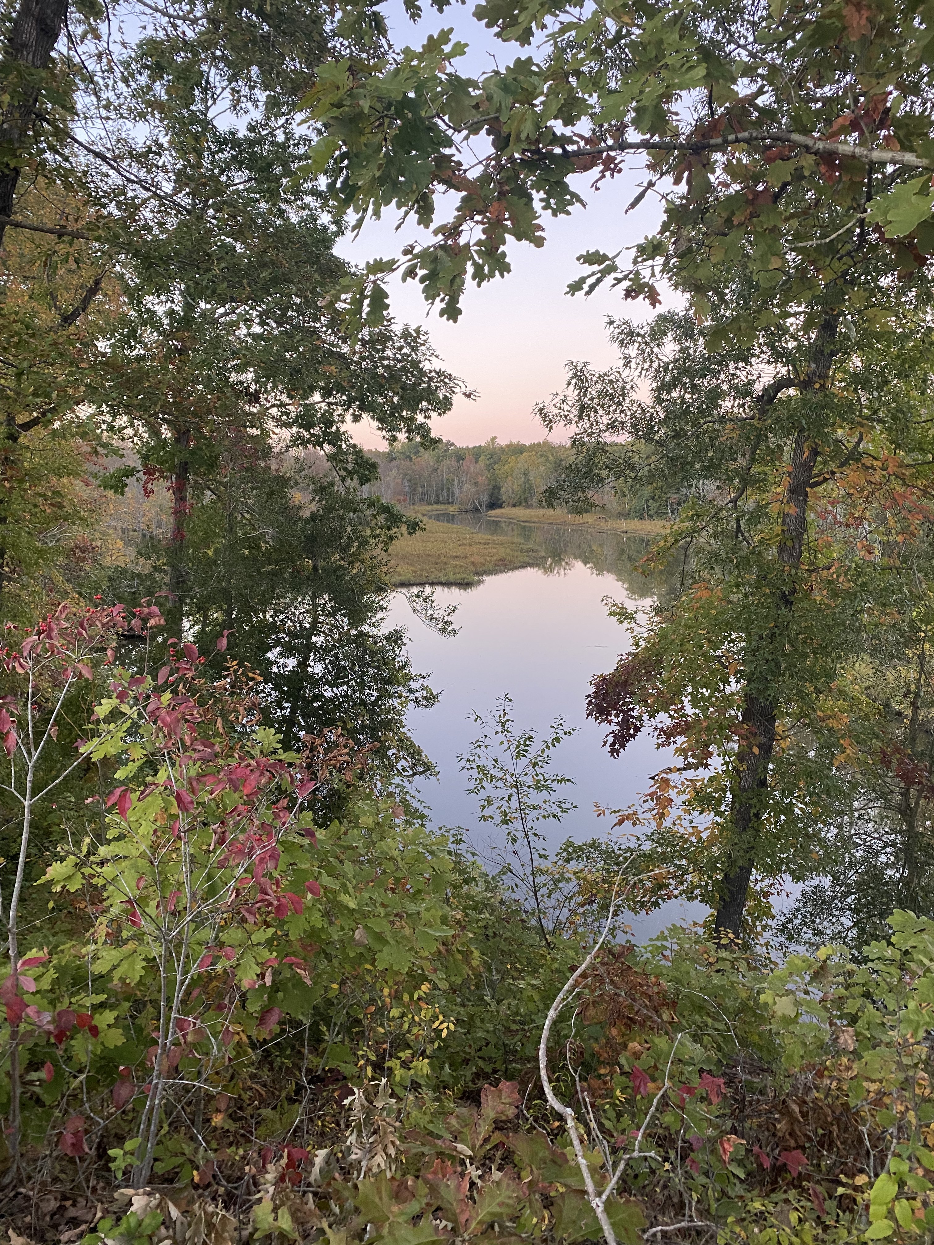
Visitors to the LandLab are curious about their surroundings. Non-prescriptive design allows for self-guided discovery of the grounds and encourages park users to bring their own ideas to be explored.
The LandLab is a creative and scientific hub for researchers and students to explore a new environment while still being easily accessible from the Richmond city center.
Visitors to the LandLab leave the grounds feeling excited, optimistic, and with a new understanding of the importance of conversation. Educational signage and programs in the park allow for learning opportunities and knowledge exchange between LandLab users.
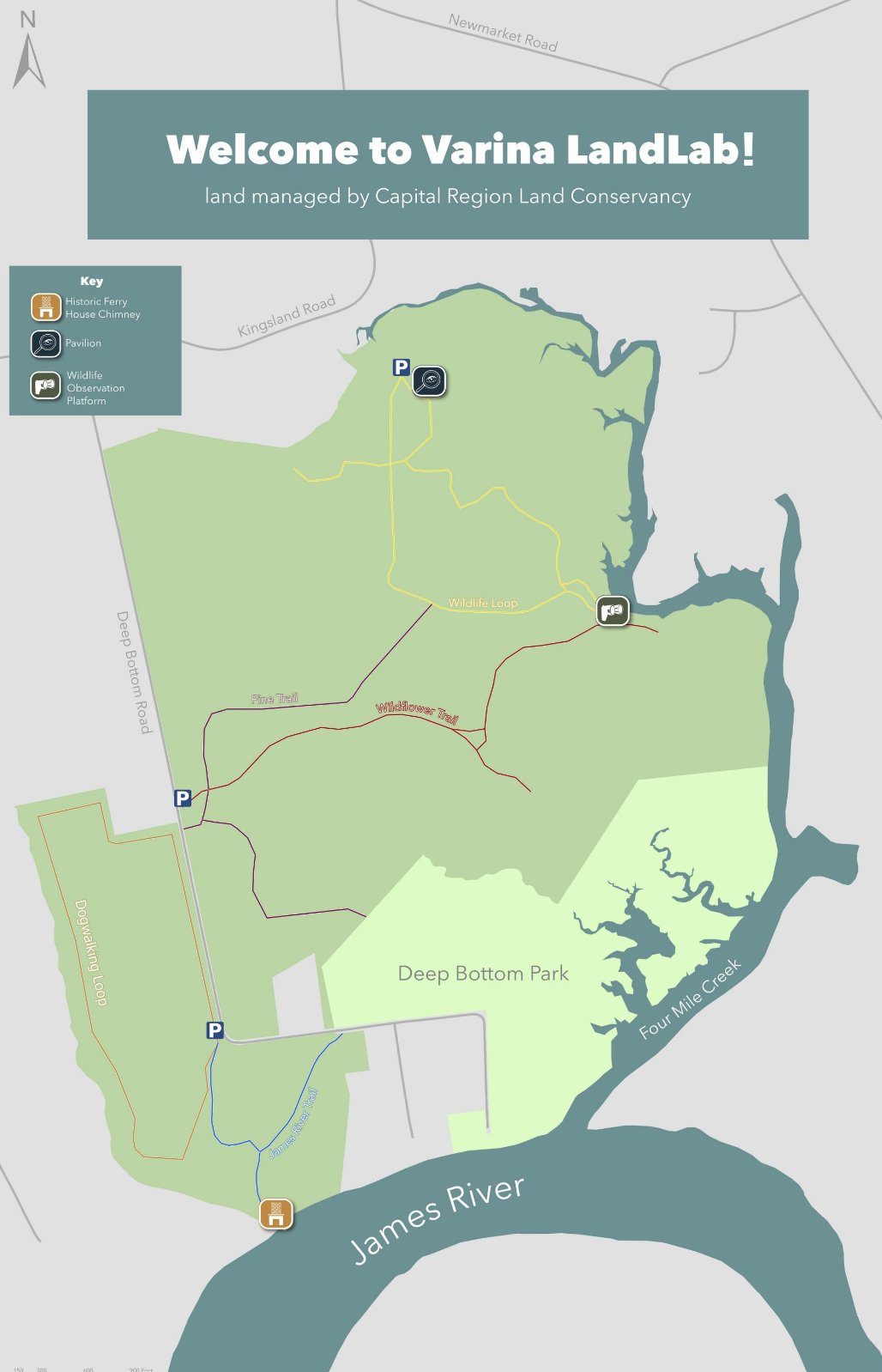
Map
The Map should be updated to include all attractions & trails displayed on kiosk, and symbols should be consistent with signage used throughout the park.
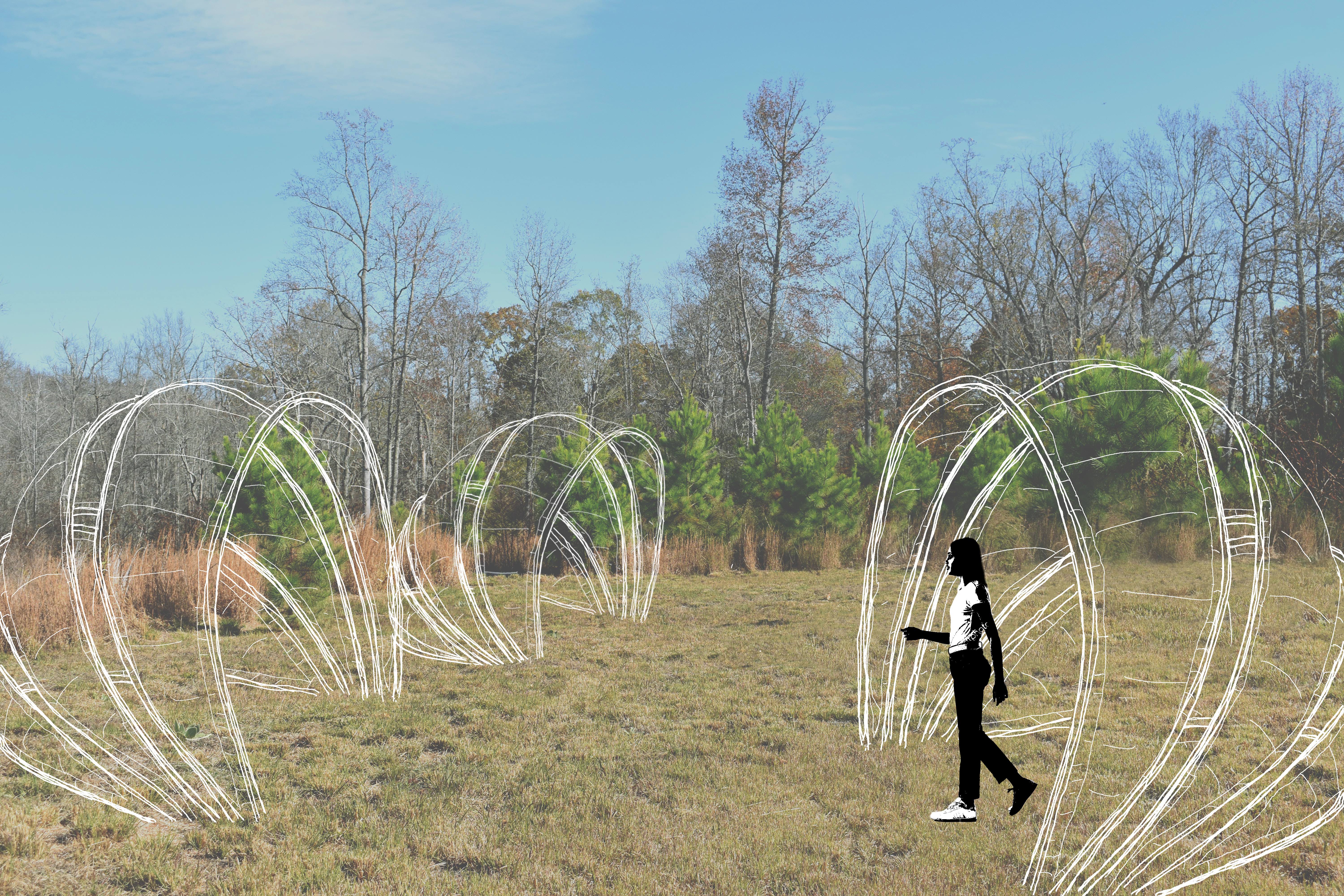
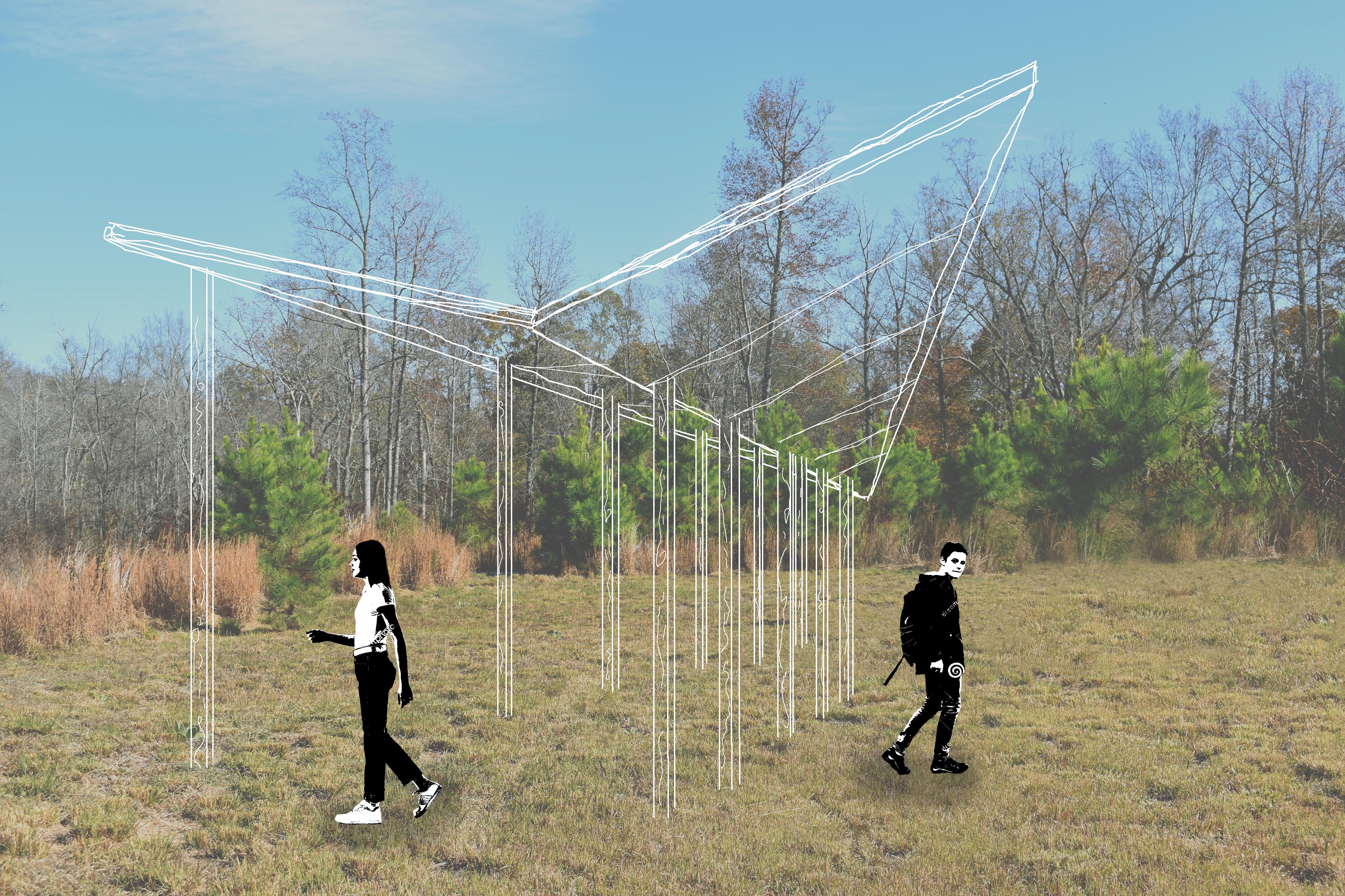
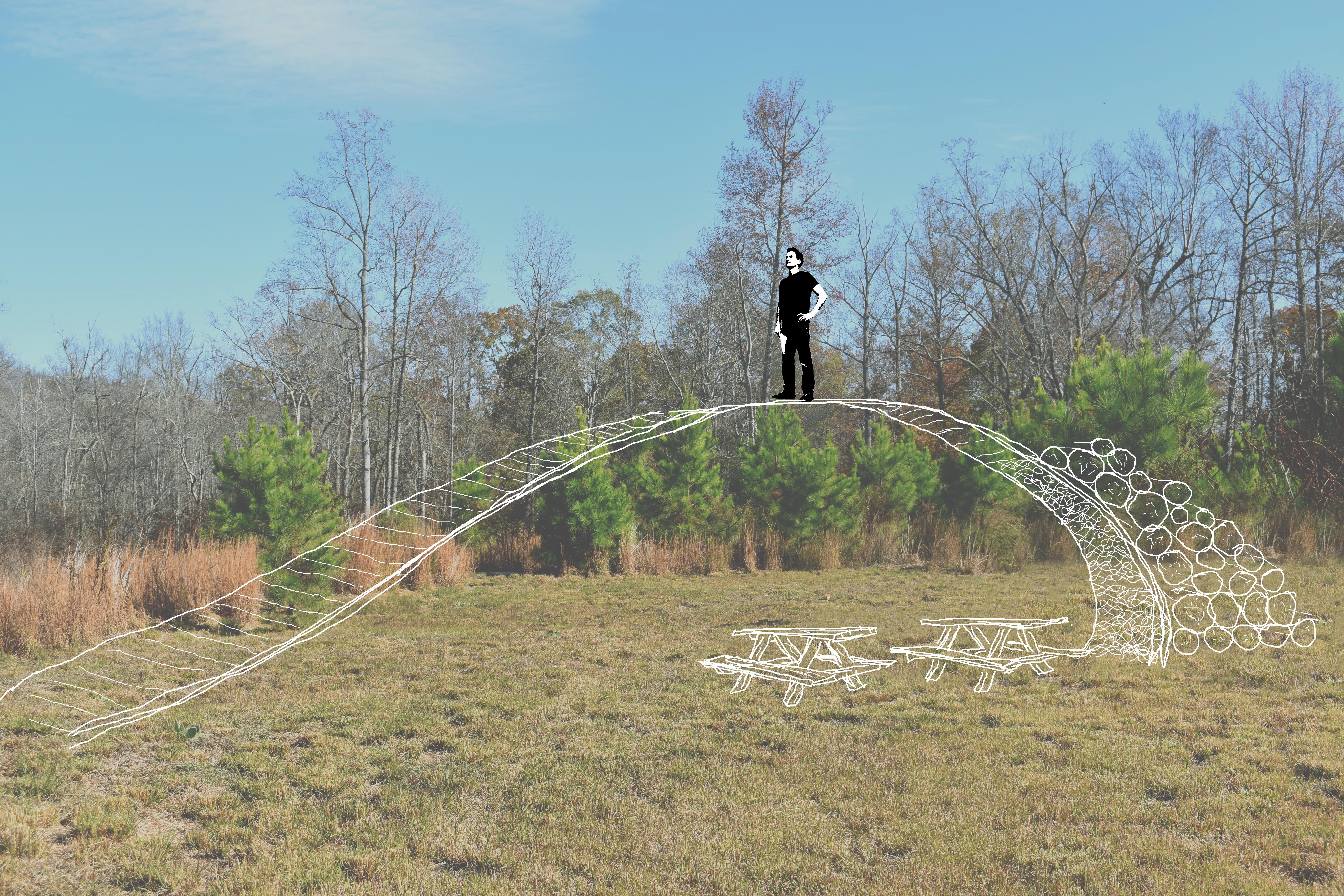
Pavilion Design
embodies the stories of the land on which it sits while aiming to facilitate research, stimulate discovery, & elevate education.
Dome-like amphitheaters (right) emphasize the importance of group collaboration and sharing knowledge.
Curves (bottom right) accentuate the rolling hills providing an overlook for critters and visitors alike. Rolled broomsedge raises awareness of the importance of wetland preservation.
An arrow-shaped pavilion points toward archaeological remains on the grounds and pays homage to the early history of the land.
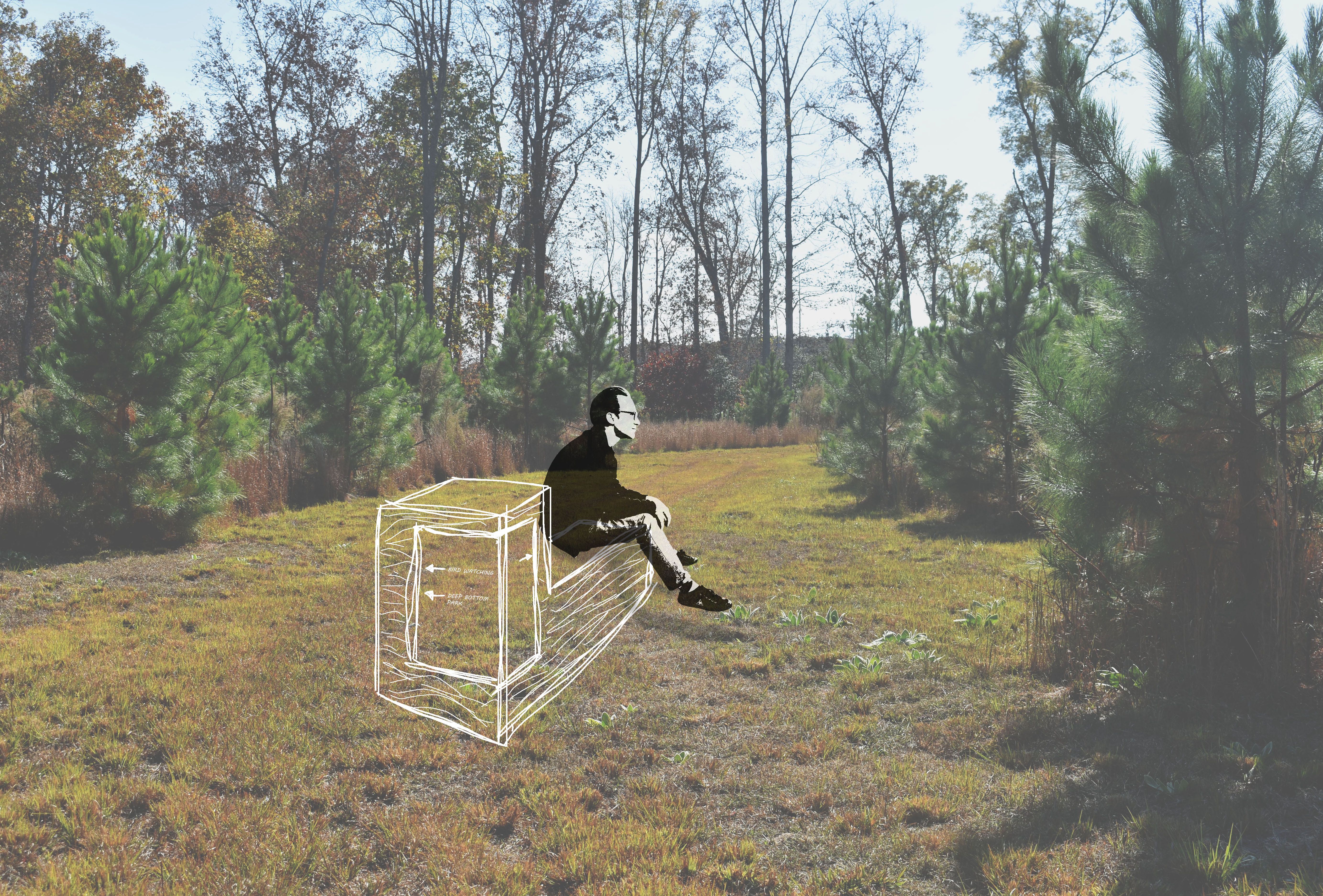
Signage
Signage encourages curiosity, reimagines way-finding, and allows visitors to interact with the environment.
A geometric bench with directional signage (top)can double as a surface for research.
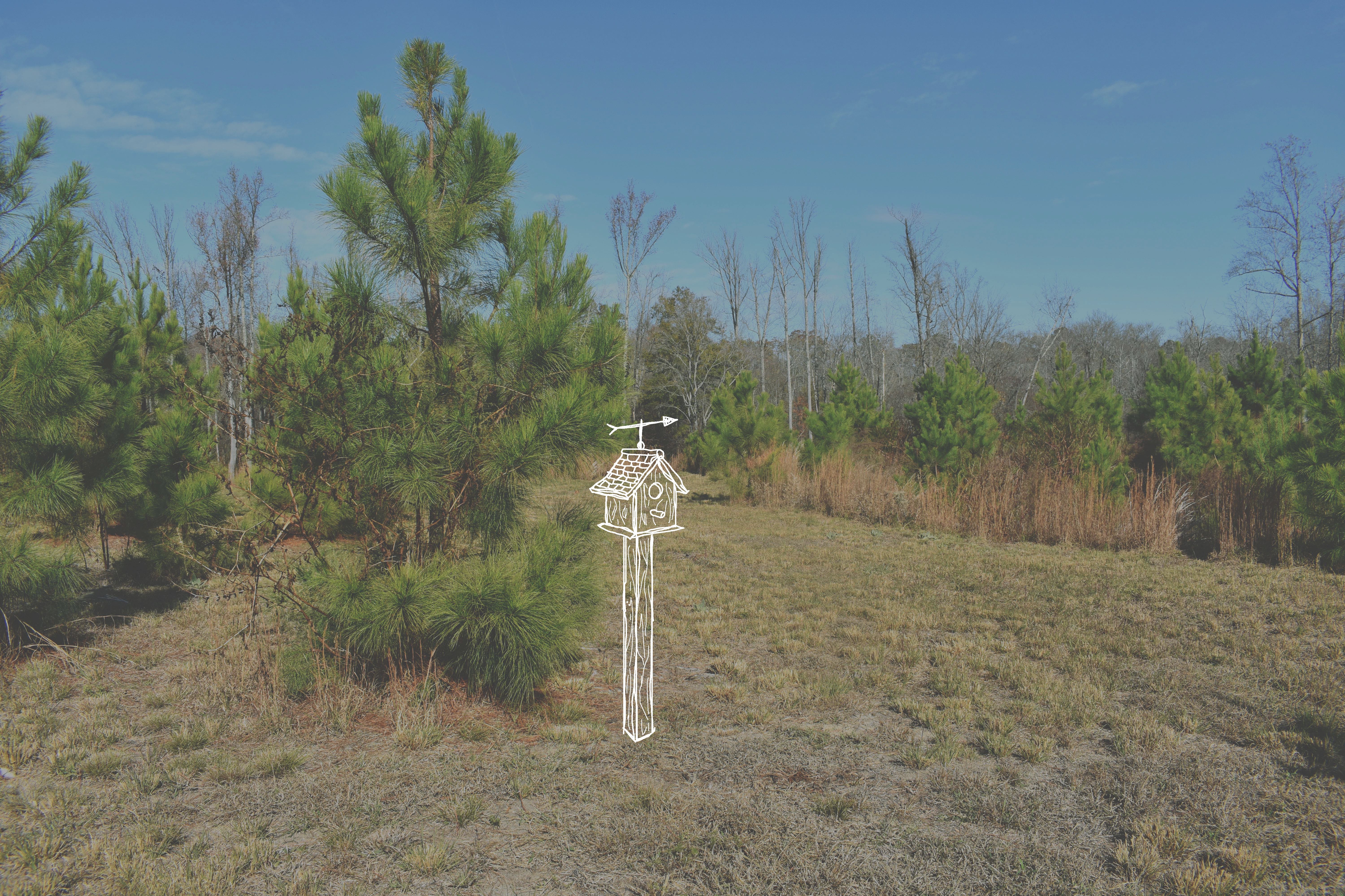
A birdhouse with an arrow on the roof (bottom, right) serves as a wayfinding tool while also providing a home for wildlife. Signage is consistent with park use: arrow points toward the birdwatching platform.
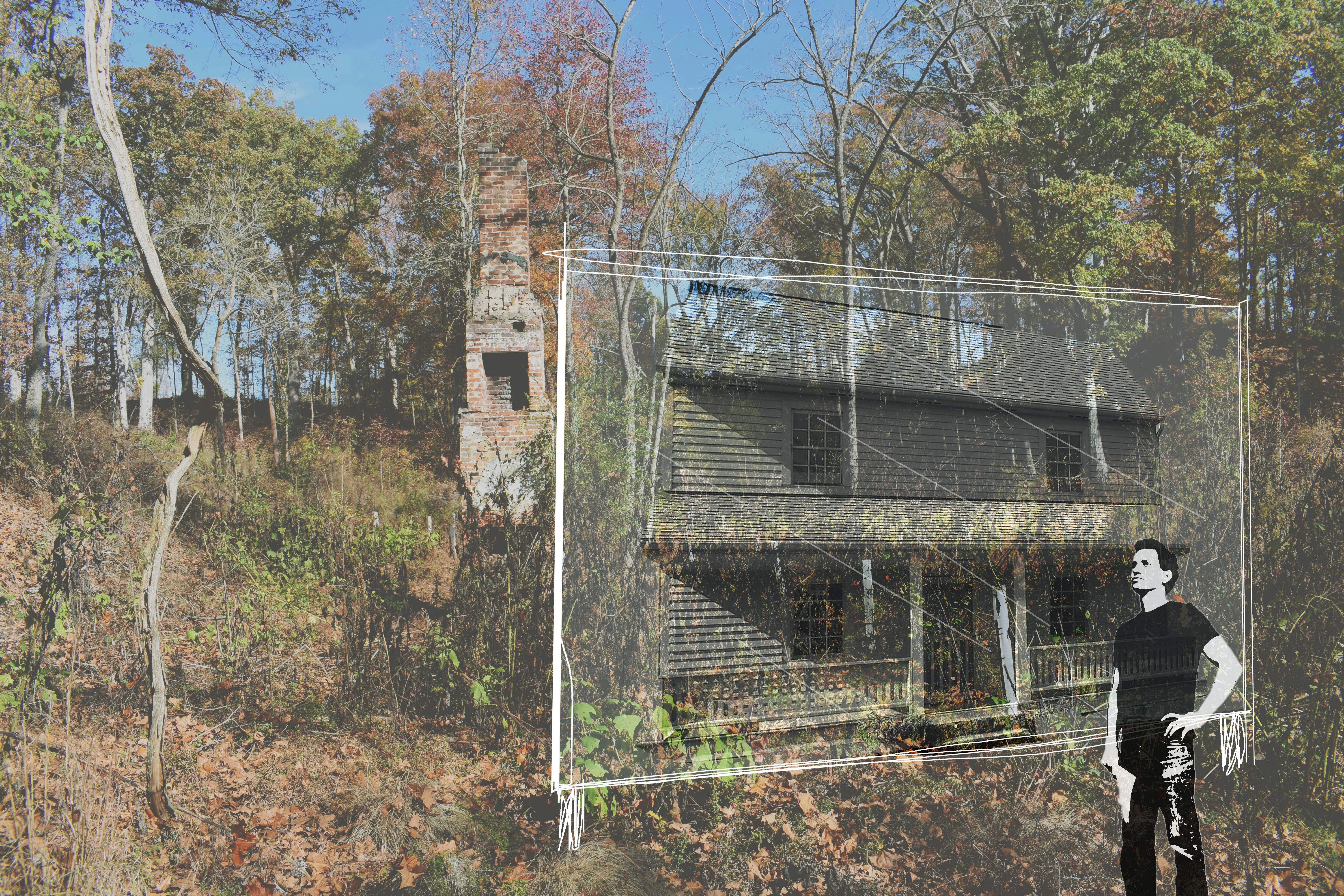
Glass displayed in front of the chimney remains (bottom, left) is etched with the outline of what the ferry house may have looked like, allowing visitors to envision the historic space.
See Full Project Booklet:
HereTeam
Varina LandLab
Aug. 2022 - Dec. 2022
In collaboration with:
Lucy Bolin, Urban Planner
Jessica Simon, Interior & Graphic Designer
Supported by:
VCU Arts mOb Studio
Rebecca Costanzo, Align Design Principal,
Architect, Urban Designer
Presented for:
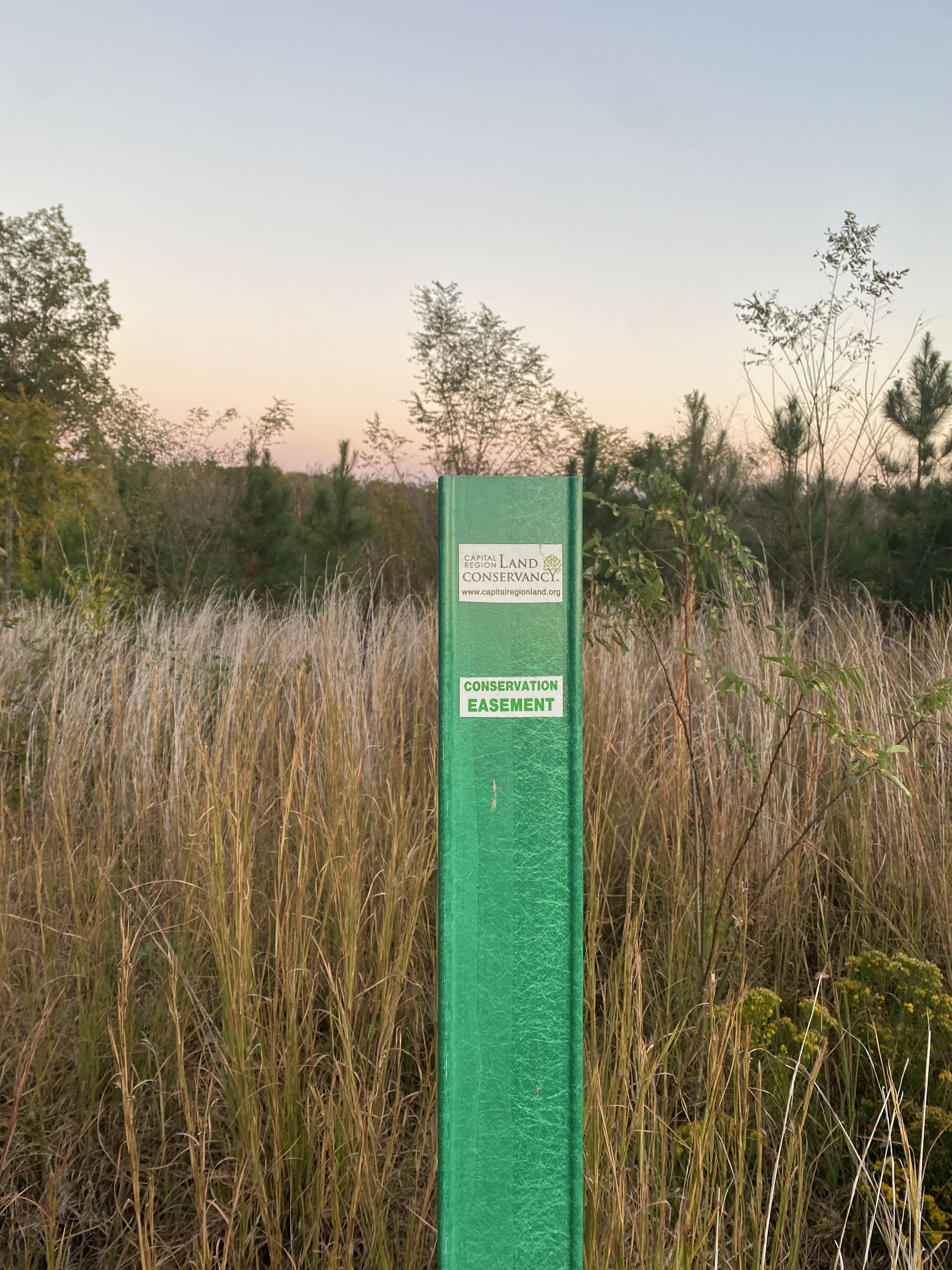
Capital Region Land Conservancy
Ashley Moulton, CRLC Conservation Specialist
Parker Agelasto, CRLC Executive Director
Have questions about my work or want to chat?
Reach out; I'd be happy to hear from you!